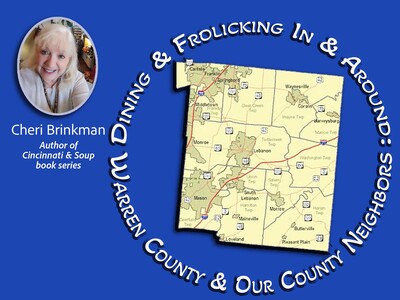
Image

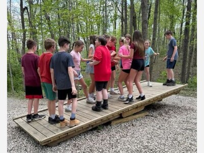
Story and photo submitted by Carlisle Local School District
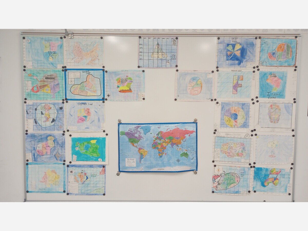
CARLISLE, OH -- Students in Julie Lee's 6th grade Social Studies are learning about different types of maps as well as how to use latitude and longitude.
Each class was divided into groups of 5 or 6 and were tasked with creating their own country. In doing this, they needed to determine where in the word their country would be using latitude and longitude. They also used the latitude of their country to determine the climate of their country.
The maps that the students created were political maps, which included the 5 parts of a map:
Each group presented their map and country using a Google slide presentation.


Patchy rain nearby, with a high of 56 and low of 41 degrees. Clear in the morning, sunny for the afternoon, patchy rain nearby in the evening, clear overnight.